Facts about the project
PhD project: Johannes Mair +++ Duration: 01.06.2021– 31.12.2024 +++ Project funding: Bundesamt für Strahlenschutz (BfS), Berlin


Picture Gallery
-
![]()
Messkampagne – P-Welle. -
![]()
Messkampagne – P-Welle. -
![]()
Messkampagne – P-Welle. -
![]()
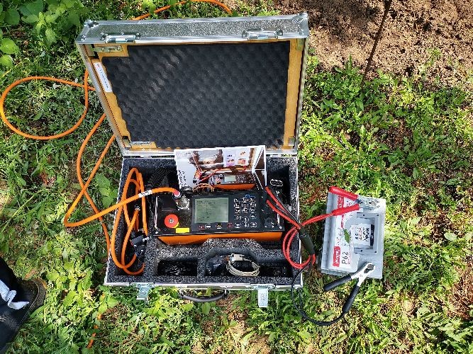
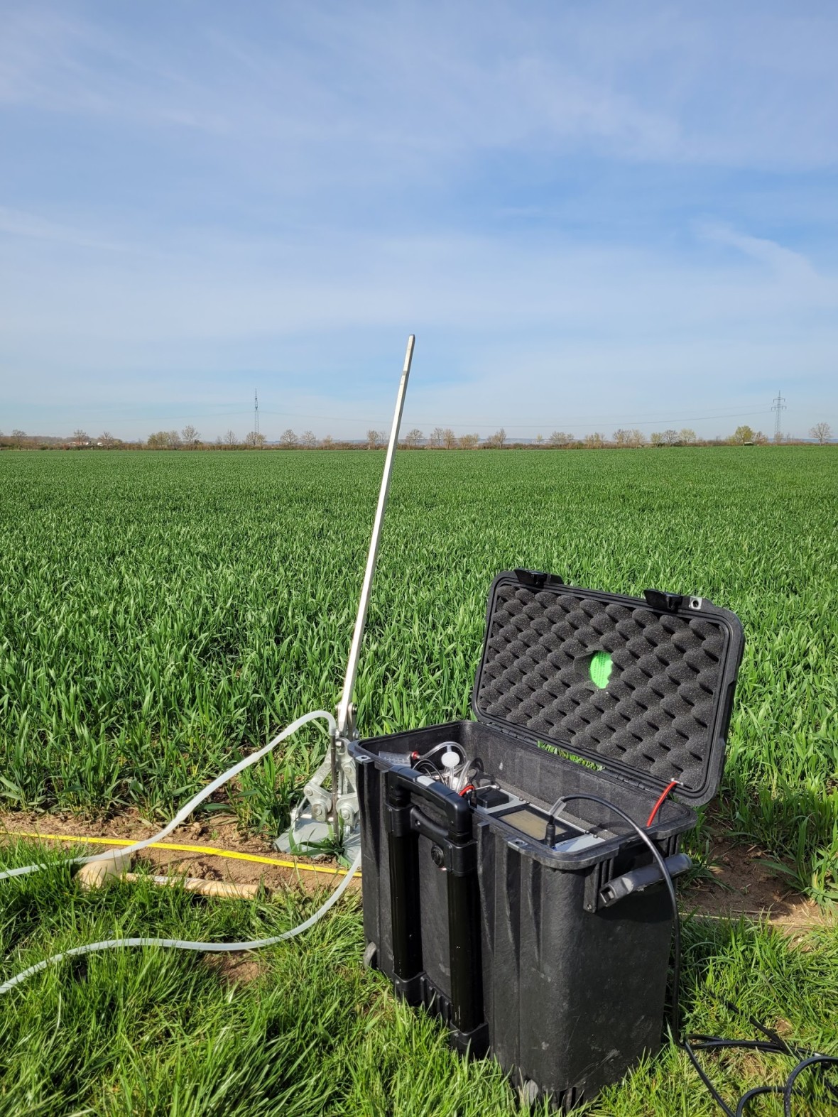
Messkampagne Radonmessungen. -
![]()
Messkampagne Radonmessungen. -
![]()
Messkampagne S-Welle (LIAG). -
![]()
Messkampagne S-Welle (LIAG). -
![]()
Messkampagne S-Welle (LIAG). -
![]()
Messkampagne S-Welle (LIAG). -
![]()
Messkampagne S-Welle (LIAG). -
![]()
Messkampagne S-Welle (LIAG). -
![]()
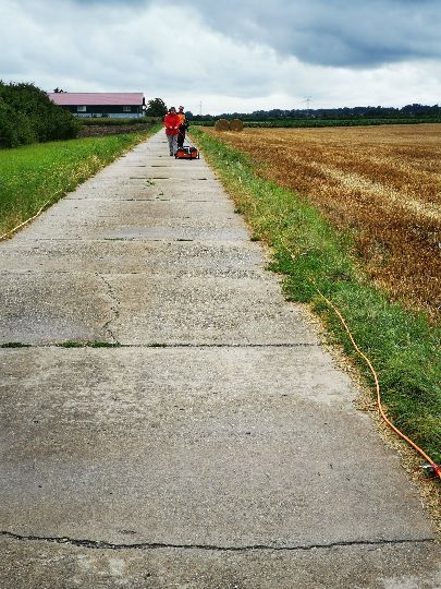
Messkampagne S-Welle/ Geoelektrik (TUDa). -
![]()
Messkampagne S-Welle/ Geoelektrik (TUDa). -
![]()
aMesskampagne S-Welle/ Geoelektrik (TUDa).


- Go to picture 1
- Go to picture 2
- Go to picture 3
- Go to picture 4
- Go to picture 5
- Go to picture 6
- Go to picture 7
- Go to picture 8
- Go to picture 9
- Go to picture 10
- Go to picture 11
- Go to picture 12
- Go to picture 13
- Go to picture 14
Status Quo
Radon Measurements:
Both the 600 active radon soil air measurements and the 200 exposimeter measurements are completed.
Geophysical Surveys:
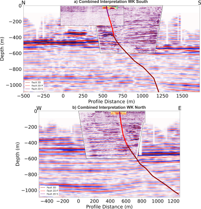
All planned methods (P-wave seismics, S-wave seismics, geoelectric, ground-penetrating radar) were conducted, mapping active faults and proving neotectonic activities.
Laboratory Measurements:
Analysis of soil samples and 100 alpha spectrometric evaluations have been performed.
Outlook
Continuation of analysis using machine learning models to explain radon variance, considering fault zones, soil conditions, and weather conditions.