NeoNORG – Neotectonics in the northern Upper Rhine Graben

Radon anomalies in soil gas and the deep structure of faults – an integrated study in an area of active tectonics

The project will investigate radon migration pathways along fault zones, the dispersion of radon in the shallow subsurface, and the causes of local radon anomalies.

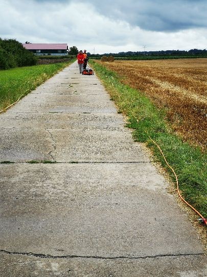
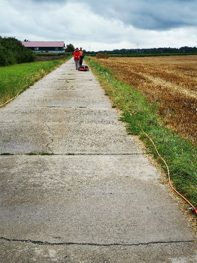
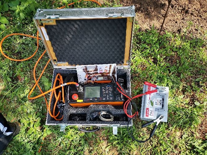
Geoelektrik

Facts about the project

PhD project: Johannes Mair +++ Duration: 01.06.2021– 31.05.2024 +++ Project funding: BfS – Bundesministerium für Strahlenschutz, Berlin

As a result of the decay of radon and its decay products, the resulting ionizing radiation causes damage to DNA and cell structure and can thus cause cancer. In the vicinity of faults, increased radon levels in the soil air can occur and lead to an increased hazard potential. In order to better assess the significance of such local anomalies for the determination of radon precautionary areas, an area with active tectonics will be investigated in greater detail within the framework of a pilot project. For the working area near Riedstadt west of Darmstadt, a three-dimensional structural model is to be generated by combining a variety of geological and geophysical methods, which will provide a detailed representation of the subsurface structures and, in particular, the geometry of the faults. In addition to the development history of the faults, the migration paths of radon in particular should thus be better understood.
Survey of the Flechtingen sandstone reservoir analog using Terrestrial Laser Scanner (TLS).
Exemplary DFN model of the Flechtingen quarry.

In the study area, radon measurements are carried out in the soil air and with exposimeters. Radon anomalies can provide indications of faults. The depth structure of faults as migration paths for radon will be investigated in the study area using several geophysical measurement methods (P-wave seismics, S-wave seismics, geoelectrics, georadar).

  • Platz, A., Weckmann, U., Pek, J., Kováciková, S., Klanica, R., Mair J., & Aleid B.: 3D imaging of the subsurface electrical resistivity structure in West Bohemia/Upper Palatinate covering mofettes and Quaternary volcanic structures by using magnetotellurics. (in preparation).

Status Quo & Outlook

Radon measurements are currently in progress as part of master's theses. Initial geophysical test measurements are being planned. A more extensive measurement campaign in cooperation with the LIAG will begin in spring 2022.