Geodata

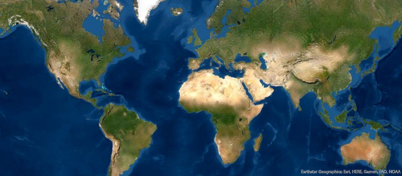
Information and links to geodata of Germany, Europe and worldwide.

A wide range of geodata is available for the state of Hesse, which can be used in form of project works. In any case, a corresponding data request must be sent to the rights holder and the use of the data must be formalized by means of a corresponding user agreement. In order to support project workers in their data research and request, the Geoinformation Working Group for the Federal State of Hesse offers suitable forms. which are subdivided according to topics and contact persons.

If the data request is carried out within the framework of a cooperation with the rights holder HLNUG, the submission is generally free of charge.

If the data request is carried out outside of a cooperation with the rights holder HLNUG, each data request will be reviewed and decided upon.

If the data request is made to an institution other than HLNUG, each data request will be reviewed and decided upon. In this case, fees may be charged.

Homepage HLNUG

Access restricted section: Log in to see this section.

Topographic maps for Hesse can be obtained free of charge from the HVBG, provided that the following conditions are met:

Universities represent a part of the Hessian Ministry of Culture according to costs. It follows that only the university itself, as an institution, is entitled to fee exemption, not its members.

The prerequisite for exemption from charges is that the services (e.g. geodata) are used exclusively for teaching purposes at the university and that the costs for this cannot be imposed on any third party. Any disclosure of data received is prohibited to universities. A dissertation is not part of the teaching mission of universities, even if it is usually completed there. Rather, it is in the private personal interest of the candidate and is also not a prerequisite for practicing a profession.

Access restricted section: Log in to see this section.

Further Sources

Hessian Agency for Nature Conservation, Environment and Geology Geological data Hesse
Hessian Administration for Land Management and Geoinformation Geodata Hesse
Federal Agency for Cartography and Geodesy (BKG) Geodata (e.g. DGM, DTK, Satellite images) Germany, Webservice, Webviewer, Open Data, INSPIRE
Federal Institute for Geosciences and Natural Resources (BGR) International and national geoscientific data:
e.g. soil, geology, geophysics, groundwater, raw materials
Geoportal.de Geodata, OPEN DATA, thematic maps, data provider, INSPIRE, basic data
Geofabrik OpenStreetMap data
OPEN DATA PORTAL (odp) Digital LiDAR-Terrain Models of Germany
Bavaria Geodata
North Rhine-Westphalia Geodata
Lower Saxony Geodata
INSPIRE Geoportal Central European Data Access Point
Europäische Umweltagentur Daten, Karten, Berichte, Publikationen
Bundesamt für Kartographie (BKG) Geodaten (z.B. DGM, DTK) Webservice, Webviewer, Open Data, INSPIRE
EUROPEAN Data Portal Metadata of Public Sector Information
Österreich Open data
Schweiz Open data
Spanien Daten & amtliche Karten
Copernicus Open Access Hub
USGS EarthExplorer Remote sensing data (e. g. areial imagery, Landsat, Sentinel…)
USGS Global Visualization Viewer (GloVis) Remote sensing data
United Nations Environmental Data Explorer
Bundesamt für Kartographie Geodaten Webservice, WebViewer, Open Data, INSPIRE
Geofabrik OpenStreeMap data
OneGEOLOGY Global geological data
Open Data Inception Open Data portals around the world
ArcGIS Living Atlas Collection of geographic information from around the globe
Earth Observation Center Geospatial data hosted by the German Satellite Data Archive (D-SDA)
European Space Agency (ESA) Earth observation information discovery platform