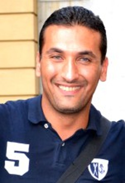
Dr. Layth Sahib
Working area(s)
Geomorphology, Remote sensing imaging, GIS techniques
Contact
born 1977 in Baghdad
Academic Education
since 2011
Ph.D. student at the TU Darmstadt
1999 - 2002
Studies "Geology" at the University of Baghdad
Main emphases: Geology, Remote sensing Geomorphology & Fluvial Processes by using Remote Sensing Technique in Sinjar NW Iraq (Excellent) & Graduated Rank
Degree: Master of Science
2000
Diploma in Computer sciences
Main emphases: Image enhancement
1995 - 1999
Studies "Geology, Engineering geology, Geomorphology" at the University of Baghdad, Department of Geology
Degree: Bachelor of Science
Research Interests
- Satellite image processing and reflectance studies for oil seeps and their environmental effects.
- hydrological organic pollutants models to determine their effects in surface and ground water.
- 3D modeling for surface and subsurface structure. Reservoirs and aquifers simulations
Software Expertise
Satellite and Image processing such ERDAS IMAGINE 11, ENVI 4.9 and Geomatica 12. Experience with ArcGIS. In addition to Rock Ware package like modelling such Rock Works 14. and Rock Ware Hydrology programs like AquiferWin32 and AqQA.
Professional Development
2009
Supporting Committee to 3rd Conference of College of Science at the University of Baghdad
2008
Updating Certification for the Teaching Staff in Geology Department
since 2004
Consulting Geology for AfroEastern Co. U.S. Company for oil drilling & oil exploration and refineries
2007 - 2009
Member in IACCI (Iraqi American Chamber of commercial and industry)
since 2006
Assistant Lecturer at the Department of Geology, College of Science University of Baghdad, Teaching the following courses: General Geology, Remote Sensing, Geological Software
1998 - 2005
Sales Representative and Negotiator for many private, local and international companies:
- Transworld Companies Group (John Deere Soil Agent Saran France, Landini Tractors Soil Agent Italy)
- Ameen International Group (Rehau Agent, Germany), For P.V.C. pipe line in Iraq
Memberships
- Deutsche Geologische Gesellschaft (DGG)
- Iraqi Geology Union Science
Publications
Journal Articles
Sahib L, Lehné R, Schüth C, Hoppe A , 2013. Oil seepage evaluation using remote sensing data and auto lineament extraction in the Kirkuk area, northern Iraq. Remote Sensing of Environment (in review).
Sahib, L.Y. (2009): Study seismic activities with sedimentation process of alluvial fans by using Remote Sensing techniques. 3rd Conference of College of Science at the University of Baghdad
Sahib, L.Y. (2002): Geology Science and Remote Sensing. (in press)
Conference contributions
Sahib L, Lehné R, Schüth C, Hoppe A , 2013. Oil seepage evaluation using remote sensing data and auto lineament extraction in the Kirkuk area, northern Iraq.(Poster). Geological Remote Sensing Group (GRSG) 24th Annual Meeting 2013. Berlin. Germany
Sahib L, Lehné R, Schüth C, Hoppe A , 2012. Detection of oil spills in the area of the Kirkuk Oil Field (Iraq) with hyper spectral satellite data, GIS-analysis and modeling.(Abstract for an oral presentation). GeoHannover 2012. Germany
Medium and Large Size Business Conference - EPRT2&4points with US companies, May 9th, 2009.
3rd Scientific Conference - Science College Baghdad University, March 24th - 26th, 2009.
Destination Baghdad EXPO and Conference-Iraqi Government &IACCI, Dec 15th - 17th, 2008.


