Facts about the project
PhD project: Dr. Dennis Laux +++ Duration: 01.03.2012 – 31.12.2015
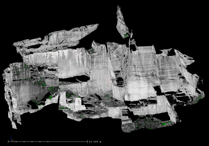
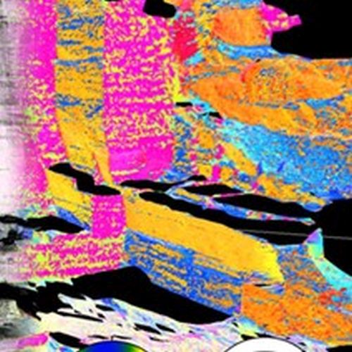
The quantitative analysis of fractures in quarries and road cuts by means of Terrestrial Laser Scanning (TLS) offers significant advantages over the classical survey techniques using geological compass and tape measure. Not only does it enable rapid and comprehensive digital documentation of the outcrop, but the x,y,z coordinates of the point cloud generated by the TLS can also be used to derive various properties of the fracture network. These include the spatial position or orientation of the fractures, their density/intensity as well as size and degree of penetration.
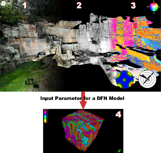
The different fracture properties derived from analysing the TLS data can be used as input parameters for the stochastic generation of Discrete Fracture Network (DFN) models. Due to the large number of surfaces recorded, statistically significant distribution functions for the intensity parameters (e.g. P10, P32) and the orientations of the fracture systems can be determined. In addition, information on larger tectonic structures such as faults and large fractures can be directly incorporated into the model as deterministic features. Such DFN models are suitable for a realistic description of the fracture network and allow for conclusions about the hydraulic and mechanical properties of fractured reservoirs (e.g. deep geothermal, conventional and unconventional hydrocarbon). In addition, the digitised outcrops can serve as reservoir analogues and help to close the scale gap between fractures or faults observed in seismic measurements and drill cores/logs.
- Laux, D., Henk, A., 2015.Terrestrial laser scanning and fracture network characterisation – perspectives for a (semi-) automatic analysis of point cloud data from outcrops. Z. Dt. Ges. Geowiss. (German J. Geosci.), 166 (1), p. 99-118.