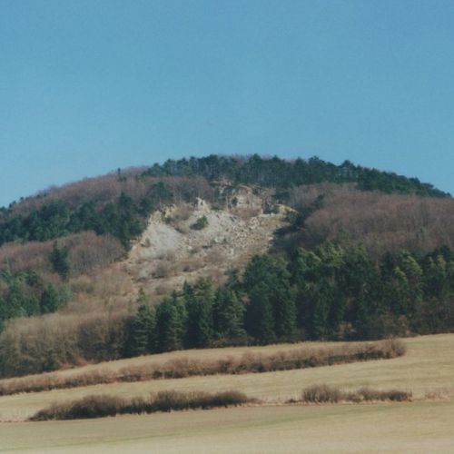
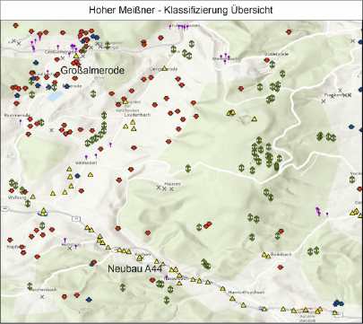
Picture: Hessisches Landesamt für Naturschutz, Umwelt und Geologie (HLNUG)
Facts about the project
Project manager: Dr. Michael Rudolf +++ Duration: 01.01.2022 – 31.12.2024 +++ Project funding: Hessisches Landesamt für Naturschutz, Umwelt und Geologie (HLNUG) +++ In cooperation with: Working Group “Fernerkundung und Bildanalyse”

Status Quo & Outlook
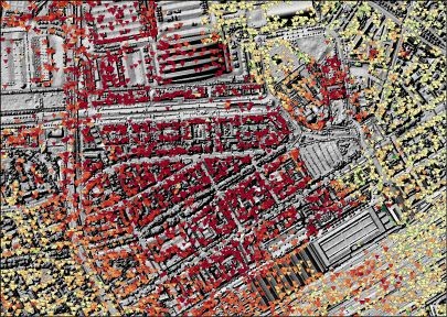
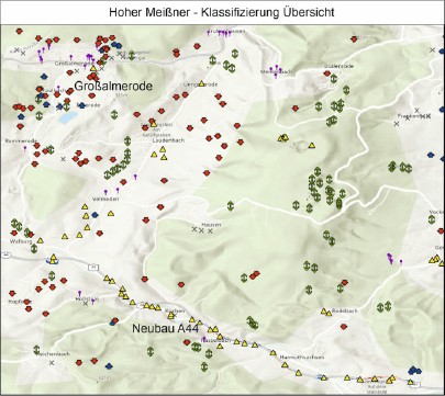
The examination of the data basis has been completed and the first detailed evaluations in the pilot regions are available.
The second project phase was successfully approved. Currently, the new data basis is being prepared and new differential height maps are being calculated.