Head: Dr. Jens Hornung
Time and location: The event takes place annually.
Application: Entry in the list on the notice board on the ground floor and registration via the TUCaN portal.
Summary:
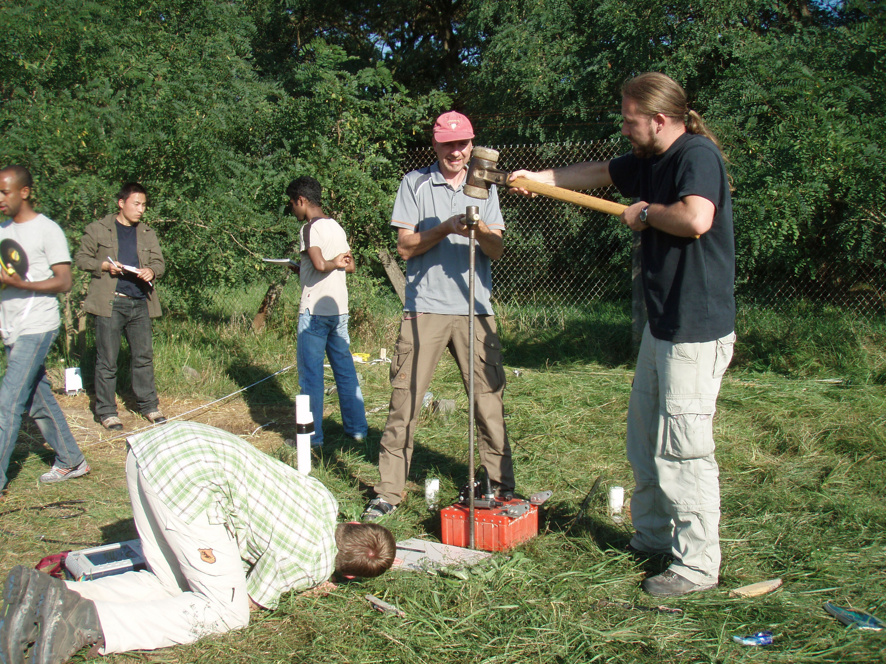
Ground penetrating radar is a near-surface, electromagnetic reflection method that provides structural images of the structure of the subsurface. This geophysical method is increasingly used in engineering offices for quality assurance and non-destructive exploration in the construction and environmental sectors. But the method is also used as a tool in many projects at research institutes for which high-resolution knowledge of the underground structures is a prerequisite.
The learning content is 3-D terrain data acquisition, 2-D and 3-D data analysis, operation of different georadar devices and antennas, data processing with topographical correction, 1-D and 2-D filtering, migration, time-depth conversion with hyperbola adaption, common midpoint analysis and local moisture sounding.
In this way, the students learn to assess and interpret the potential of georadar with regard to the depth, resolution and influence of the underground materials. You understand the theoretical and practical basic principles and can assess the possible uses in practical underground exploration.
Food and Beverage: No overnight stays
Number of participants: Variable
Proof of achievement: Exam/report
Dr. Jens Hornung
Contact
hornung@geo.tu-...
work +49 6151 16-20632